Loading the Dhauladhar range…

Dhauladar
Innovation Labs

Dhauladar Innovation Labs

Technology that empowers people, not replaces them.

We build AI tools for how teams work: smarter decisions, an agentic office, and knowledge that is easy to find.

Scroll to start the climb

Stop 01Triund · 2,850 m

Our vision

At DIL (Dhauladar Innovation Labs), we envision a world where technology and agile workflows harmonize to create an optimized and family-friendly professional environment.

By leveraging decoupled asynchronous workflows, we enable seamless collaboration, ensuring that innovation and productivity thrive in the cloud.
Stop 02Ilaqa Got · ≈ 3,350 m

Our philosophy

Our philosophy is quality maximization. Our guidelines to increase quality:

Love
Is based on respect and tolerance.
Compassion
Is based on empathy and understanding each other.
Joy
Grows when you share it.
Equanimity
Is based on peace, not on judgment.
Quality of communication
Comes from awareness (motivation, style, mood, effect), honesty and openness.
Quality of collaboration
Comes from the quality of communication and effort.
Quality of success
Is measured in the happiness of our collaborators and clients.

Stop 03Indrahar Pass · 4,342 m

Our mission

We are committed to revolutionizing the way businesses operate by innovating:

  • Work processesEnhancing collaboration and efficiency.
  • Decision-makingEnabling data-driven and intelligent choices.
  • Information accessibilityEnsuring seamless and secure knowledge sharing.

01Decisions

ConsensusServer

AI-driven decision-making for businesses.

Open ConsensusServer
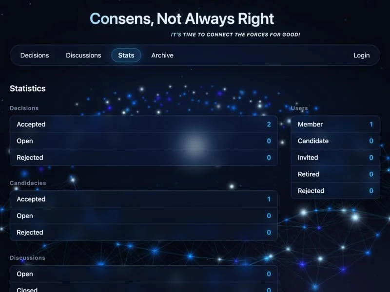
ConsensusServer: the public statistics page of decisions, candidacies, discussions and usersOpen live ↗

02Workspace

Agentic Office

A fixed AI desk for a company. Teammates draft mail, books and meetings, and stop when they need a human.

Open Agentic Office demo
Open live ↗

03Knowledge

Knowledgebase

A smart knowledge management system.

Open Knowledgebase
Open live ↗

Terrain produced using Copernicus WorldDEM-30 © DLR e.V. 2010-2014 and © Airbus Defence and Space GmbH 2014-2018 provided under COPERNICUS by the European Union and ESA; all rights reserved. The organisations in charge of the Copernicus programme by law or by delegation do not incur any liability for any use of the Copernicus WorldDEM-30. Distant ranges: SRTM via AWS Terrain Tiles. Imagery: contains modified Copernicus Sentinel data (2026). Third-party licences